Regionsweg past Angath

Hiking

favorite_borderfavorite
play_arrowpause
  • Open
  • EasyLevel
  • access_time2:00 hDuration
  • arrow_right_alt6,2 kmDistance
  • trending_up193 mUphill
  • trending_down105 mDownhill
  • Show map
Angerberg & Mariastein Drohne (c) Magdalena Laiminger 10.jpg

Tour information

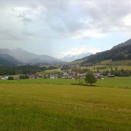
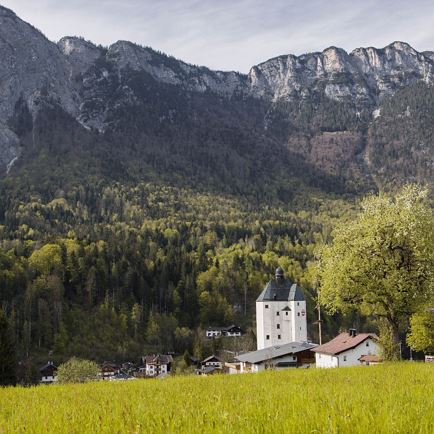
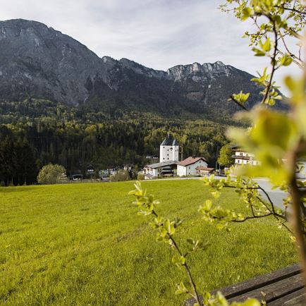
The starting point of this hike is the Innsteg in Wörgl. Right at the start of this hike, you cross the Inn and follow trail no. 1 / 1a. At the crossroads, turn right and follow the road to the next crossroads where the two regional paths separate. Follow the signs for the regional trail (no. 1a). This path branches off to the right and leads through Angath to Mariastein, always following the signposts for the Regionsweg (No. 1a). You return to the starting point via the same route.

Read more

Info

Regionsweg past Angath

Features

  • check easy / hiking trail
  • Asphalt
  • outdoor clothing
    sturdy shoes
    Sufficient food and drinks
    First aid kit
    Mobile phone with full battery & charger
    Hiking map & guide literature
    GPS device or download the GPS data to your mobile phone if necessary
    Sun protection (sunglasses, sun cream & cap)
    Rain protection
    Cash
  • Coming from Innsbruck/Munich: A12 exit Wörgl Ost - take the B171 Wörgl/Wildschönau feeder road - after approx. 500m take the 2nd exit at the roundabout - continue for approx. 1km through Wörgl, follow the signs to your destination.


    Coming from Kitzbühel: B170 through Brixental - after passing through Hopfgarten continue for approx. 4km to the roundabout, take the 3rd exit - continue on the B178 feeder road exit towards Wörgl - drive through Loferer Straße until the exit onto the B171 feeder road towards Wörgl - after 500m at the roundabout take the 2nd exit - continue for approx. 1km through Wörgl, follow the signs to the destination
  • Bus: Wörgl main station 

    Train: Wörgl main station 


    Guest card = ticket - bus & train included! 

    Online timetables:


    www.vvt.at

    www.oebb.at
  • Car park directly at the Innsteg

Similar

Airport Loop

Airport LoopEasy
Airport Loopaccess_time2:00 harrow_right_alt6,3 kmfavorite_borderfavorite

Weitentalweg

WeitentalwegEasy
Weitentalwegaccess_time2:00 harrow_right_alt6,5 kmfavorite_borderfavorite

Obwiesen

ObwiesenEasy
Obwiesenaccess_time1:30 harrow_right_alt5,7 kmfavorite_borderfavorite

Mühltalrunde

MühltalrundeEasy
Mühltalrundeaccess_time1:30 harrow_right_alt6,7 kmfavorite_borderfavorite