The Obergaisberg Mountain Circular Route

Hiking

favorite_borderfavorite
play_arrowpause
  • MediumLevel
  • access_time2:30 hDuration
  • arrow_right_alt6,2 kmDistance
  • terrain1033 mHighest point
  • trending_up230 mUphill
  • trending_down223 mDownhill
  • Show map
Obergaisberg.JPG

Tour information

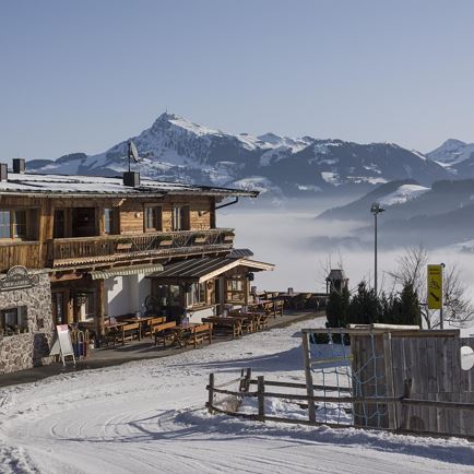
Depart from the village centre via the Stöcklfeld to the horse-racing tracks.  Here turn to the left and follow the forest road through the woods, uphill, passing the Scherrgrubhof to the Gasthof Obergaisberg (where a visit is possible).  From here continue in the direction of Kirchberg, pass the Kirchanger chapel to the ski slopes.
 

Read more

Info

The Obergaisberg Mountain Circular Route

Features

  • check medium difficulty / red mountain path
  • check
  • check
  • Asphalt, Schotter, Wiesenweg
  • Bergwanderschuhe

Similar

Lindweg

LindwegMedium
Lindwegaccess_time1:45 harrow_right_alt6,1 kmfavorite_borderfavorite