Stations of the Cross to the Brixenbachalm

Hiking

favorite_borderfavorite
play_arrowpause
  • EasyLevel
  • access_time3:30 hDuration
  • arrow_right_alt3,8 kmDistance
  • terrain1086 mHighest point
  • trending_up261 mUphill
  • trending_down279 mDownhill
  • Show map
kreuzweg.jpg

Tour information

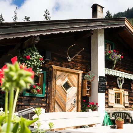
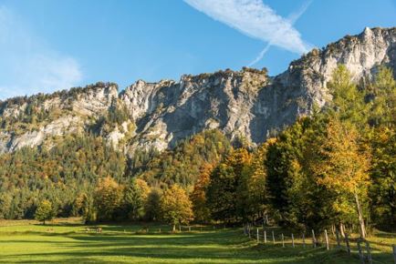
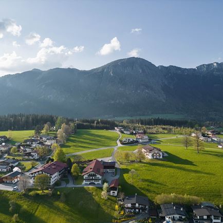
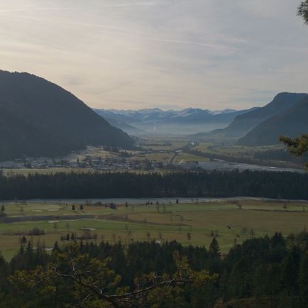
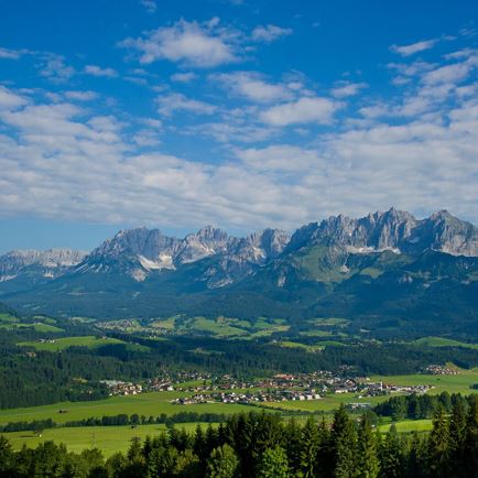
We drive by car to the Reiterbrücke in the district of Brixenbach. We always hike to the left, uphill along the Brixenbach stream. This path leads through beautiful Alpine and mountain meadows and is also lined with several stations of the cross representing the suffering of Jesus.  After a short stretch of forest we reach the highest point of this hike, a beautifully situated resting place above the Brixenbachalm with a wonderful view of the Wilder Kaiser and tBrixen’s Sonnberg. We descend to the Brixenbachalm and enjoy a tasty Alpine snack before we make our way back. For the return route   we either choose the same route or we follow the forest path out of the valley, along the Brixenbach stream, until we reach our starting point.

Read more

Info

Stations of the Cross to the Brixenbachalm

Features

  • check easy / hiking trail
  • check
  • check
  • Wanderweg, Schotter
  • Wanderschuhe, ggf. Wanderstöcke
  • Mi Bus oder Bahn nach Brixen im Thale

Restaurants & infrastructure

Similar

Baumgartenrunde

BaumgartenrundeEasy
Baumgartenrundeaccess_time1:00 harrow_right_alt3,7 kmfavorite_borderfavorite

Fischteichrunde

FischteichrundeEasy
Fischteichrundeaccess_time1:00 harrow_right_alt3,9 kmfavorite_borderfavorite

Gießen Runde

Gießen RundeEasy
Gießen Rundeaccess_time1:00 harrow_right_alt3,9 kmfavorite_borderfavorite