Schwarzkogel

Hiking

favorite_borderfavorite
play_arrowpause
  • MediumLevel
  • access_time6:30 hDuration
  • arrow_right_alt8,9 kmDistance
  • terrain1975 mHighest point
  • trending_up980 mUphill
  • trending_down980 mDownhill
  • Show map
Schwarzkogel_Kitzbüheler Alpen - Brixental_Mathäus Gartner_FULL30.jpg

Tour information

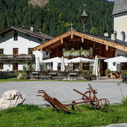
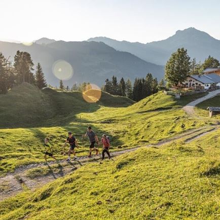
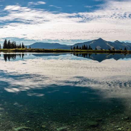
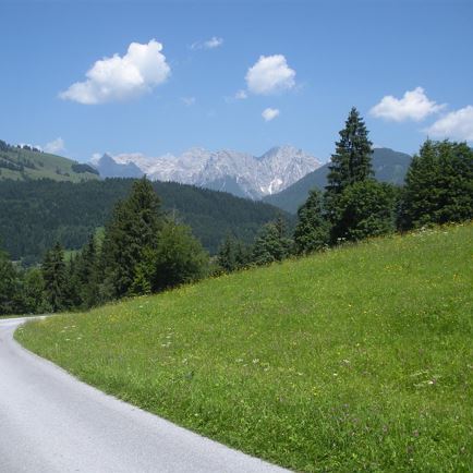
The hike begins at the Gredwirt in Aschau. At first we cross steep meadows leading us into the forest. Close to the Seewaldalm we find the first hikers’ stamp station. Cross the Aschauer Höhenweg and continue along the forest to the Kleinmoosalm. Walk to the upper Kleinmoosalm, and further on to the foot of the Schwarzkogel. From here it’s just a steep section up to the summit of the Schwarzkogel. Once at the top you will be rewarded with stunning views!

Read more

Info

Schwarzkogel

Features

  • check medium difficulty / red mountain path
  • Asphalt, Schotter
  • Wanderschuhe
  • nein

Restaurants & infrastructure

Similar

Eggerbergweg

EggerbergwegMedium
Eggerbergwegaccess_time3:00 harrow_right_alt8,8 kmfavorite_borderfavorite