Mountain hike to the Hohe Salve

Hiking

favorite_borderfavorite
play_arrowpause
  • MediumLevel
  • access_time6:00 hDuration
  • arrow_right_alt15,2 kmDistance
  • terrain1829 mHighest point
  • trending_up1000 mUphill
  • trending_down1000 mDownhill
  • Show map
Hohe Salve Kirche

Tour information

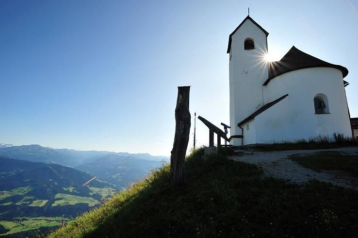
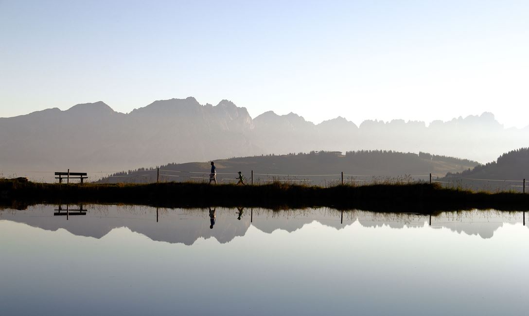
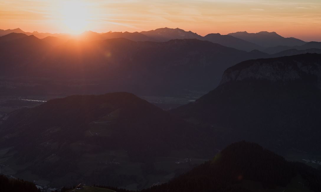
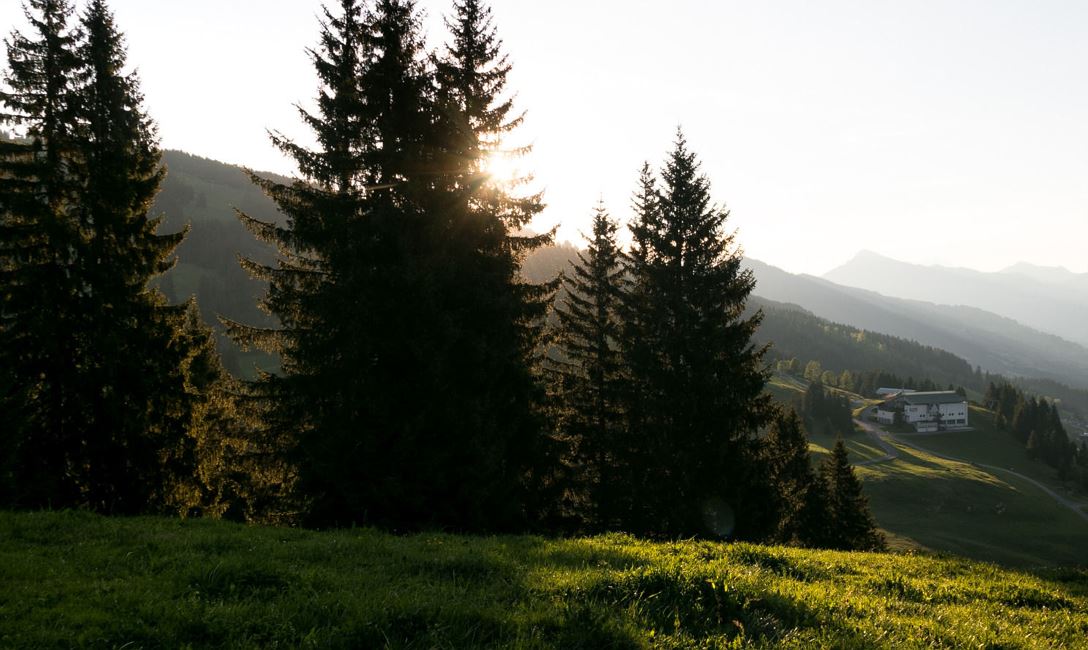
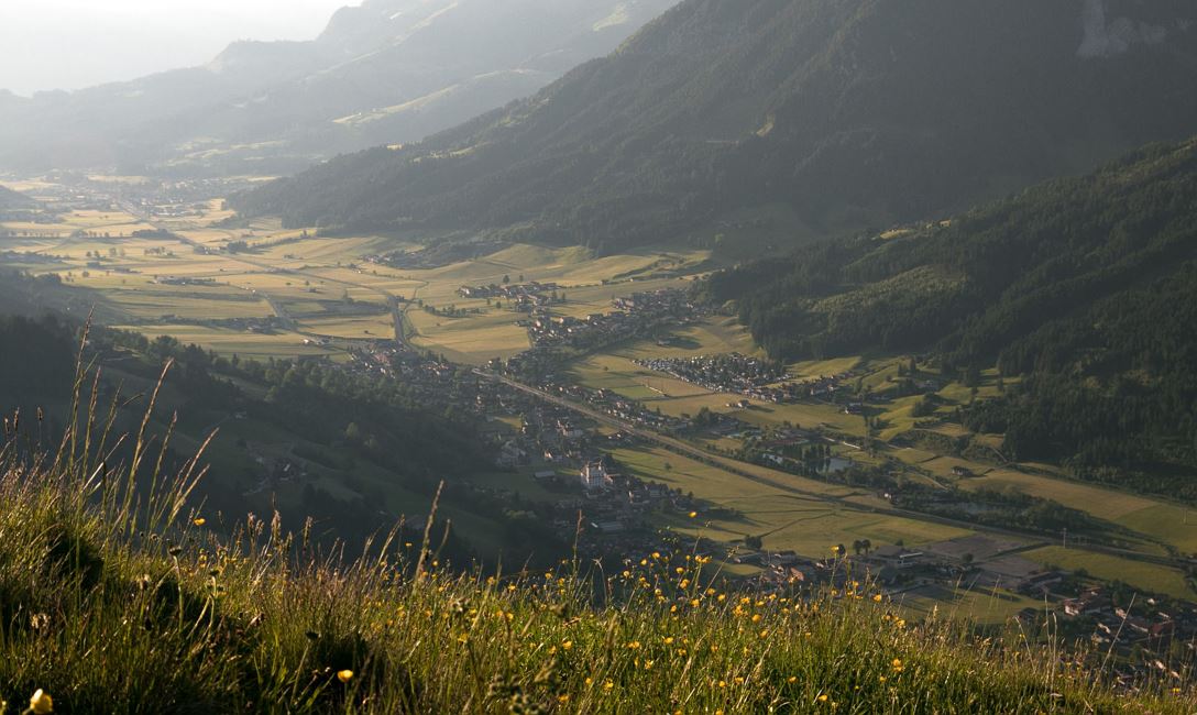
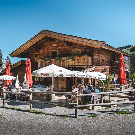
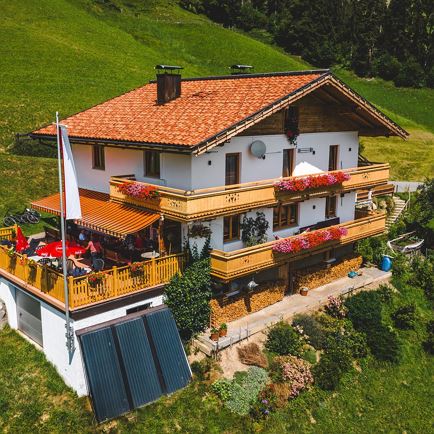
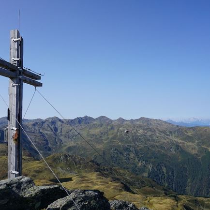
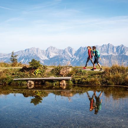
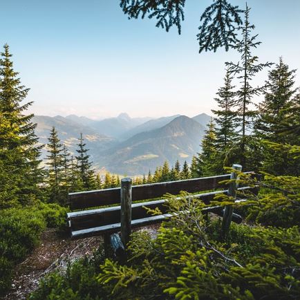
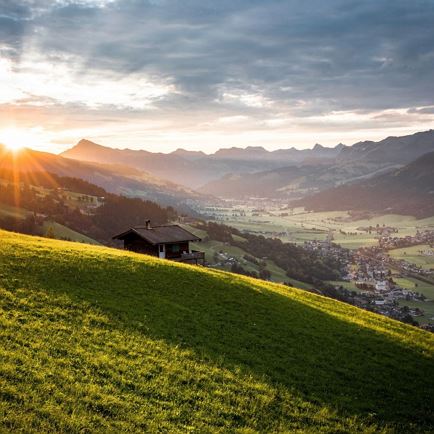
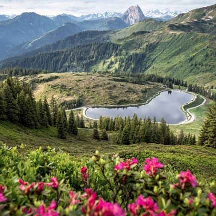
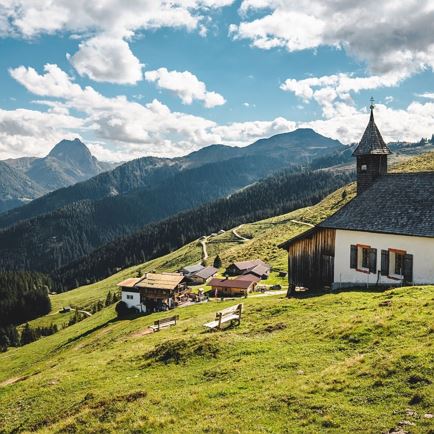
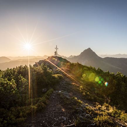
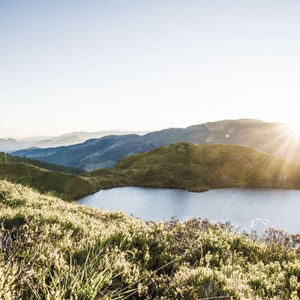
The hike begins in the car park at the Hochbrixen gondola station.  We follow the road uphill to the fork at Ochsenweide, keep to the left and continue on the road as far as the Möllingerbauer (farm).  Then we turn left onto the dirt track and remain on this trail to Hochbrixen.  The hike continues to the Filzalmsee (lake), a very popular destination for young and old.   A steep ascent follows.  In the forest the mysterious Jordan chapel appears where the baptism of Jesus at the riven Jordan is depicted in images.  According to popular belief, the water from the spring holds a beneficial effect on the eyes.  The trail leads us through a short woodland area, on to the Kälbersalve and then to the Salvensee (reservoir).   The relatively steep ascent to the 1,829 m summit begins.  On arrival, we are rewarded with magnificent views, as well as culinary delights.  The return journey takes us once again down the summit slope to the Filzalmsee, keeping to the right on the woodland trail. Follow this trail as far as the Guggbauern (farm), then along the road descending into the valley.
 

Read more

Info

Mountain hike to the Hohe Salve

Features

  • check medium difficulty / red mountain path
  • check
  • Schotter, Wanderwege und Wandersteige
  • Bergwanderschuhe, evtl. Stöcke
  • mit PKW, Bus oder Zug nach Brixen im Thale

Restaurants & infrastructure

Filzalm

Filzalm
Filzalm
Brixen im Thale
favorite_borderfavorite

Oberkaslach

Oberkaslach
Oberkaslach
Brixen im Thale
favorite_borderfavorite

Similar

Pallspitze

PallspitzeMedium
Pallspitzeaccess_time6:30 harrow_right_alt15,1 kmfavorite_borderfavorite

Rauher Kopf

Rauher KopfMedium
Rauher Kopfaccess_time6:00 harrow_right_alt15,0 kmfavorite_borderfavorite

Kröndlhorn

KröndlhornMedium
Kröndlhornaccess_time3:45 harrow_right_alt15,5 kmfavorite_borderfavorite

Wappenweg

WappenwegMedium
Wappenwegaccess_time6:00 harrow_right_alt15,5 kmfavorite_borderfavorite

Almrosenweg

AlmrosenwegMedium
Almrosenwegaccess_time6:00 harrow_right_alt15,5 kmfavorite_borderfavorite

Urzeitweg

UrzeitwegMedium
Urzeitwegaccess_time6:00 harrow_right_alt15,5 kmfavorite_borderfavorite

Schafsiedel

SchafsiedelMedium
Schafsiedelaccess_time6:45 harrow_right_alt15,6 kmfavorite_borderfavorite